Google Earth now one smooth image

Google Earth now one smooth image
With the release of Google Earth 6.2 this week, Google was very proud to announce that the earth mapping software now has one smooth satellite image of the planet instead of a map patched together by images taken at different times.

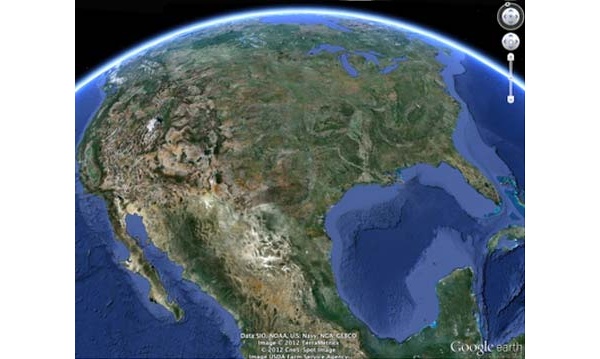
The globe looked a bit like a quilt instead of a fluid image, but that challenge has now been eliminated.


Says Google: "We're introducing a new way of rendering imagery that smooths out this quilt of images. The end result is a beautiful new Earth-viewing experience that preserves the unique textures of the world's most defining geographic landscapes?without the quilt effect."

The effect can be seen on all updates to the app, including mobile and desktop version. All older versions of the software before 6.2 will have it, as well, but Google, as with all software makers, is encouraging users to update to the latest.

Additionally, you can now share your screenshots via Google+ directly if you have an account. Finally, the software now has included biking, transit and walking directions.

Written by: Andre Yoskowitz @ 28 Jan 2012 18:57
Tags
Google Earth Earth Map
Advertisement - News comments available below the ad
  • 5 comments
  • TBandit

    First flat, now round, now smooth hahaha

    29.1.2012 03:29 #1

  • MrBarlow

    Now all they have to do is update the actual maps...
    my house is still how it looked before we bought it, and we moved here in 2006...

    29.1.2012 04:03 #2

  • xnonsuchx

    Originally posted by MrBarlow: Now all they have to do is update the actual maps...
    my house is still how it looked before we bought it, and we moved here in 2006...

    Move to a busier area. City areas that tend to change more often are re-imaged once a year or so, but rural areas (esp. if near large areas of uninhabited land) are mostly ignored if they already have an image.

    29.1.2012 05:06 #3

  • MrBarlow

    Originally posted by xnonsuchx: Move to a busier area. City areas that tend to change more often are re-imaged once a year or so, but rural areas (esp. if near large areas of uninhabited land) are mostly ignored if they already have an image. Well not mine, i live in a uk city of approx 350k..
    the streetview is more recent (but even that is about 2yrs old), but the sat maps show my street very old...

    29.1.2012 10:37 #4

  • llongtheD

    Does it still look like a quilt on areas that were blurred out due to the "patriot act?" Not that I'm discounting Google on that one.

    30.1.2012 00:48 #5

© 2024 AfterDawn Oy

Hosted by
Powered by UpCloud